We are building knowledge about distributions of fungi and we need your help.
August Hao (University of Melbourne) & Tom May (Royal Botanic Gardens Vic)
We know many Australian fungi have distinct distribution patterns, but these patterns are challenging to explicitly describe – each fungal record adds a small piece of information to the puzzle, but we’ll need a lot of records to see the full picture.
By providing records on the whereabouts of fungi, Fungimap recorders, along with other citizen scientists and reference collections such as herbaria, have already contributed immensely to the undertaking of describing Australian fungal distributions. With these records, we are now making a start to put fungal species on the map, but more work is needed.
At the moment, the biggest challenges in working with existing fungal records are:
- errors in identification
- errors in the geocodes (such as latitude/longitude) provided with the records, and
- the spatial unevenness of sampling effort – some areas support an abundance of records whereas others appear to be rarely visited.
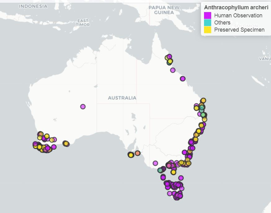
A new edition of Fungi Down Under, the Fungimap guide to Australia fungi, is in preparation. A further 100 species will be added to the 100 species included in the first edition. One of the features of Fungi Down Under is the inclusion of distribution maps. For the new edition, we would like the maps to be as accurate as possible. Therefore, we have created interactive Australia-wide maps of the 200 target species (as well as some other species of interest) that allow close examination of each individual record. These maps can help us more easily see erroneous records and sampling gaps for each species, at a glance. We are now making these maps available for the public so you can help us by pointing out errors we have overlooked, and visiting those big empty gaps on the map.
Note that the maps are zoomable, with a selection of background layers, and clicking on each point shows data for that point.
Regions that are under-recorded include:
- tropical Australia, north of the tropic of Capricorn
- the arid and semi-arid interior
- coastal Eastern Australia between Brisbane and Sydney
- the inland slopes of the Great Dividing Range, along the whole east coast
- the Australian alps – the high country in Victoria and New South Wales
- the far south-east of South Australia and the Eyre Peninsula
See here for the maps and sending your corrections.
Thanks in anticipation!
Tom & August